
Taking you to Hebden Bridge today. This town sits on The Pennine Way The Pennine Way was the first, and is probably now the best-known of all the UK’s National Trails. This long-distance footpath begins in the heart of England, the Peak District, and weaves its way north through the Yorkshire Dales, the Cheviots and onwards to the border with Scotland, forming what is often described as the "spine" of England.

Being born and bred in Lancashire this was a well known place to me in my teenage years.

The town developed in late medieval times as a river crossing and meeting point of pack horse routes.
Textiles have always been important in the area for centuries, but it was not until mechanisation and steam power were introduced from the late 18th century, that Hebden Bridge began to grow significantly.
The arrival of the canal and railway attracted industry to the valley bottoms, but with limited flat land and a growing army of textile workers, dwellings were ingeniously built on the valley sides, giving the town it's characteristic "double decker" housing.


Local bus stop


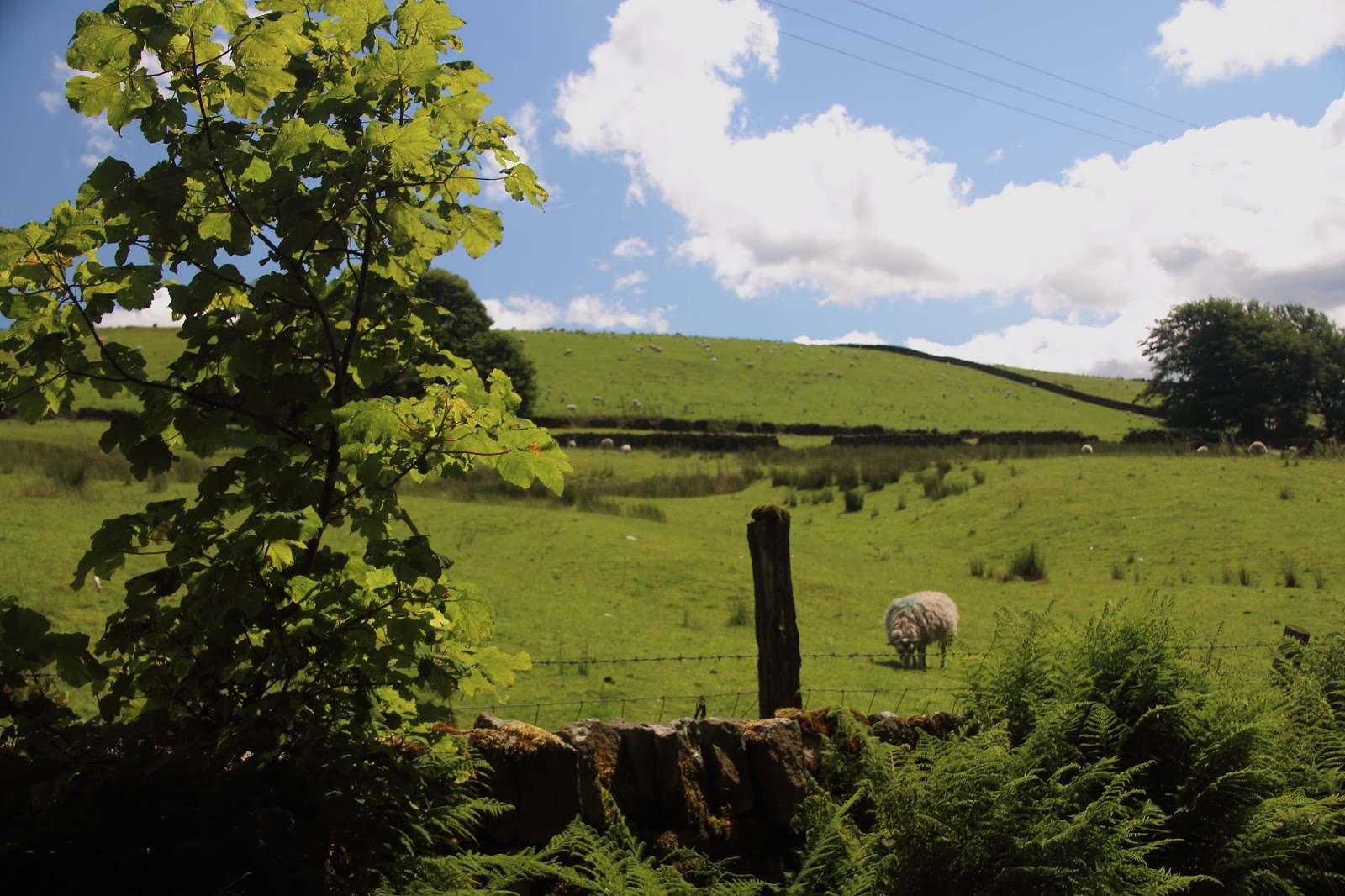
There are foot paths with signs like these all across England and when walking on them I have always thought of the generations of folk that have walked on them for centuries, especially when these were the main routes across the countryside.

A dry stone wall falling down - very unusual


The sign Haworth seen here is the town where The Bronte sisters lived


So another virtual walk thanks to son Peter


